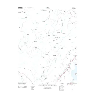
2013 Map of Roddy
USGS Topo · Published 2013About this map
Roddy and Reid Camp sit near the shoreline of Watts Bar Lake in this 2013 geographic study of the Tennessee Valley and its upland ridges. The landscape is defined by the steep relief of Walden Ridge, where dozens of creeks like Whites Cr and Sandy Cr have carved deep hollows such as Wildcat Hollow and Stillhouse Hollow. Small airports, including 100 Aker Wood Airport and Walden Ridge Airport, indicate the modern adaptation of this topographically complex area.
Find a feature on this map
155 named features on this map. Tap any name to fly to it.
Don’t see what you’re looking for? This feature index may not catch every label — zoom into the map to look around manually.
Map Details
Editions of this 2013 Roddy Map
This is the sole edition of this map. No revisions or reprints were ever made.
Other maps of this area

1887 · Kingston
USGS Topo · 1:125,000

1891 · Kingston
USGS Topo · 1:125,000

1893 · Kingston
USGS Topo · 1:125,000

1935 · Rockwood
USGS Topo · 1:24,000

1935 · Pennine
USGS Topo · 1:24,000

1936 · Roddy
USGS Topo · 1:24,000
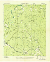
1936 · Ozone
USGS Topo · 1:24,000

1936 · Cardiff
USGS Topo · 1:24,000

1936 · Spring City
USGS Topo · 1:24,000
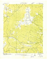
1936 · Grassy Cove
USGS Topo · 1:24,000