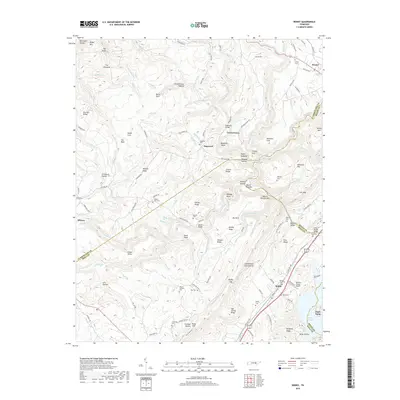
2019 Map of Roddy
USGS Topo · Published 2019About this map
Roddy and Westel anchor this portrait of the Tennessee landscape where the Cumberland Escarpment defines the transition between the plateau and the valley below. The terrain is marked by numerous family-named cemeteries and landmarks, such as Kelley Cem, Ross Cem, and Williams Cem, providing a detailed record for genealogical research in this tri-county area of Rhea, Roane, and Cumberland.
Find a feature on this map
153 named features on this map. Tap any name to fly to it.
Don’t see what you’re looking for? This feature index may not catch every label — zoom into the map to look around manually.
Map Details
Editions of this 2019 Roddy Map
This is the sole edition of this map. No revisions or reprints were ever made.
Other maps of this area

1887 · Kingston
USGS Topo · 1:125,000

1891 · Kingston
USGS Topo · 1:125,000

1893 · Kingston
USGS Topo · 1:125,000

1935 · Rockwood
USGS Topo · 1:24,000

1935 · Pennine
USGS Topo · 1:24,000

1936 · Roddy
USGS Topo · 1:24,000
1936 · Ozone
USGS Topo · 1:24,000

1936 · Cardiff
USGS Topo · 1:24,000

1936 · Spring City
USGS Topo · 1:24,000
1936 · Grassy Cove
USGS Topo · 1:24,000