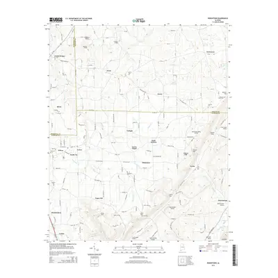
2014 Map of Rodentown
USGS Topo · Published 2014About this map
Sardis City and its neighboring settlements define the varied topography where Marshall, Etowah, and DeKalb counties converge. This 2014 survey captures a landscape of upland ridges and deep hollows, such as Neighbors Hollow and Bob Walden Hollow, which divide the scattered residential communities. The map serves as a vital record for genealogists, documenting numerous local burial sites including Union Cem, Hibbs Cem, and Leath Cem.
Find a feature on this map
183 named features on this map. Tap any name to fly to it.
Don’t see what you’re looking for? This feature index may not catch every label — zoom into the map to look around manually.
Map Details
Editions of this 2014 Rodentown Map
This is the sole edition of this map. No revisions or reprints were ever made.
Other maps of this area

1885 · Gadsden
USGS Topo · 1:125,000

1888 · Gadsden
USGS Topo · 1:125,000

1892 · Gadsden
USGS Topo · 1:125,000

1893 · Fort Payne
USGS Topo · 1:125,000

1895 · Gadsden
USGS Topo · 1:125,000

1898 · Fort Payne
USGS Topo · 1:125,000

1900 · Fort Payne
USGS Topo · 1:125,000

1903 · Gadsden
USGS Topo · 1:125,000

1936 · Painter
USGS Topo · 1:24,000

1936 · Crossville
USGS Topo · 1:24,000