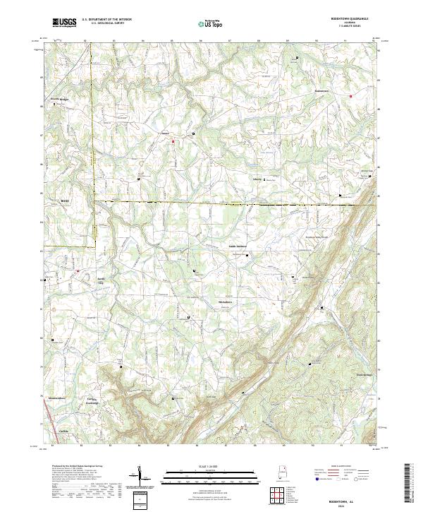
2024 Map of Rodentown
USGS Topo · Published 2024About this map
Rodentown sits at the northern end of a landscape defined by the sharp ridges and valleys of the Alabama coal country. This area, where Marshall, DeKalb, and Etowah counties converge, is marked by a complex network of gaps and hollows, including Leath Gap and Penitentiary Hollow. The drainage patterns here are significant, with Short Creek and Cross Creek carving through the terrain toward the Tennessee Valley Divide.
Find a feature on this map
196 named features on this map. Tap any name to fly to it.
Don’t see what you’re looking for? This feature index may not catch every label — zoom into the map to look around manually.
Map Details
Editions of this 2024 Rodentown Map
This is the sole edition of this map. No revisions or reprints were ever made.
Other maps of this area

1885 · Gadsden
USGS Topo · 1:125,000

1888 · Gadsden
USGS Topo · 1:125,000

1892 · Gadsden
USGS Topo · 1:125,000

1893 · Fort Payne
USGS Topo · 1:125,000

1895 · Gadsden
USGS Topo · 1:125,000

1898 · Fort Payne
USGS Topo · 1:125,000

1900 · Fort Payne
USGS Topo · 1:125,000

1903 · Gadsden
USGS Topo · 1:125,000

1936 · Painter
USGS Topo · 1:24,000

1936 · Crossville
USGS Topo · 1:24,000