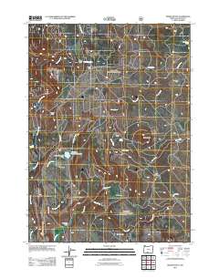
2011 Map of Rodeo Butte
USGS Topo · Published 2011About this map
McCartie Ranch and Griffin Ranch anchor this landscape of high-elevation plateaus and drainages in Klamath County, Oregon. The topography is defined by the prominent Rodeo Butte and the broad depression of The Basin, with water managed through features like the O'Connors Puddle Dam and its associated O'Connors Puddle Reservoir. The network of springs and creeks, including Last Chance Spring and Horseglade Spring, indicates a region where water sources were vital for the scattered homesteads and ranching operations. Named clearings like Horse Glade and Rail Glade suggest historical uses for timber or grazing, while sites like Anderson Cabin and Camp Six provide specific points of interest for genealogists and local historians tracking early settlement patterns and seasonal land use along Ivory Pine RD and its various offshoots.
Find a feature on this map
25 named features on this map. Tap any name to fly to it.
Don’t see what you’re looking for? This feature index may not catch every label — zoom into the map to look around manually.
Map Details
Editions of this 2011 Rodeo Butte Map
This is the sole edition of this map. No revisions or reprints were ever made.
Other maps of this area

1889 · Klamath
USGS Topo · 1:250,000

1894 · Klamath
USGS Topo · 1:250,000

1955 · Klamath Falls
USGS Topo · 1:250,000

1958 · Klamath Falls
USGS Topo · 1:250,000

1960 · Riverbed Butte
USGS Topo · 1:62,500

1960 · Bly
USGS Topo · 1:62,500

1960 · Fishhole Mtn
USGS Topo · 1:62,500

1966 · Shake Butte
USGS Topo · 1:24,000

1966 · Sandhill Crossing
USGS Topo · 1:24,000

1974 · Lake Abert
USGS Topo · 1:100,000