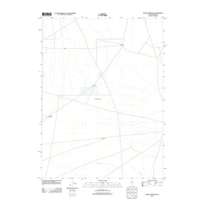
2012 Map of Rodeo Creek SW
USGS Topo · Published 2012About this map
Boulder Valley in Eureka County, Nevada, presents a specialized agricultural and water-management landscape defined by the livestock industry. The presence of the T Lazy S Farm signifies the ranching heritage of the Great Basin, where large-scale operations rely on scattered infrastructure to sustain cattle. The geography is marked by a network of seasonal watercourses and essential landmarks for land navigation and ranching operations, such as Sand Dune Windmill and Alkali Windmill. These features, along with Gravel Road Windmill and East Pole Windmill, illustrate the vital role of groundwater extraction in this arid environment. The map details the drainage of Boulder Creek and Mack Creek, which are central to the region's hydrography and influence the layout of local roads and property boundaries.
Find a feature on this map
8 named features on this map. Tap any name to fly to it.
Don’t see what you’re looking for? This feature index may not catch every label — zoom into the map to look around manually.
Map Details
Editions of this 2012 Rodeo Creek SW Map
This is the sole edition of this map. No revisions or reprints were ever made.
Other maps of this area

1955 · Winnemucca
USGS Topo · 1:250,000

1957 · Dunphy
USGS Topo · 1:62,500

1957 · Beowawe
USGS Topo · 1:62,500

1958 · Winnemucca
USGS Topo · 1:250,000

1962 · Winnemucca
USGS Topo · 1:250,000

1965 · Sheep Creek Range NE
USGS Topo · 1:24,000

1965 · Sheep Creek Range SE
USGS Topo · 1:24,000

1968 · Rodeo Creek SW
USGS Topo · 1:24,000

1968 · Rodeo Creek NE
USGS Topo · 1:24,000

1968 · Welches Canyon
USGS Topo · 1:24,000