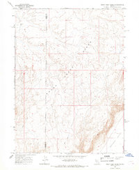
1968 Map of Rodeo Creek SW
USGS Topo · Published 1970About this map
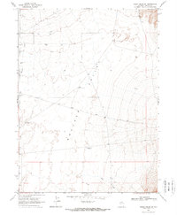
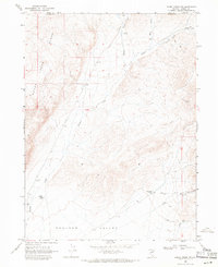
Boulder Valley serves as the focal point of this arid Great Basin landscape, characterized by a sparse but vital network of water management features typical of Nevada ranching. The presence of the T Lazy S Farm indicates the deep-rooted agricultural presence in a region where resources are carefully managed. A series of strategically placed landmarks, including the Sand Dune Windmill, Alkali Windmill, and East Pole Windmill, illustrate the reliance on groundwater for livestock and homesteading. Drainage is defined by the ephemeral courses of Boulder Creek and Mack Creek, which navigate the valley floor amidst scattered gravel and borrow pits. This 1968 survey captures the balance between private holdings and the open range, where fence lines and unimproved roads trace the human imprint on the high desert.
Find a feature on this map
13 named features on this map. Tap any name to fly to it.
Don’t see what you’re looking for? This feature index may not catch every label — zoom into the map to look around manually.
Map Details
Editions of this 1968 Rodeo Creek SW Map
2 editions found
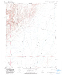
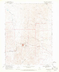
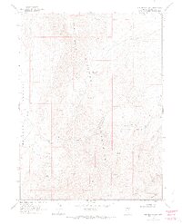
Other maps of this area

1955 · Winnemucca
USGS Topo · 1:250,000
1957 · Dunphy
USGS Topo · 1:62,500
1957 · Beowawe
USGS Topo · 1:62,500

1958 · Winnemucca
USGS Topo · 1:250,000

1962 · Winnemucca
USGS Topo · 1:250,000
1965 · Sheep Creek Range NE
USGS Topo · 1:24,000
1965 · Sheep Creek Range SE
USGS Topo · 1:24,000
1968 · Rodeo Creek NE
USGS Topo · 1:24,000
1968 · Welches Canyon
USGS Topo · 1:24,000
1968 · Rodeo Creek NW
USGS Topo · 1:24,000