
1968 Map of Rodeo Creek NW
USGS Topo · Published 1971About this map
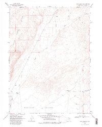
Boulder Valley and the southern slopes of the Sheep Range define the landscape of this Nevada survey. The area is characterized by a network of drainage systems including Boulder Creek, Rodeo Creek, and Sheep Creek, which provide vital water sources in this high-desert environment. Human activity is evidenced by scattered water infrastructure and ranching outposts, notably the Boulder Windmill Corral and the Sheep Creek Windmill Corral.
Find a feature on this map
16 named features on this map. Tap any name to fly to it.
Don’t see what you’re looking for? This feature index may not catch every label — zoom into the map to look around manually.
Map Details
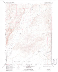
Editions of this 1968 Rodeo Creek NW Map
3 editions found
Other maps of this area

1955 · McDermitt
USGS Topo · 1:250,000

1955 · Winnemucca
USGS Topo · 1:250,000

1958 · Winnemucca
USGS Topo · 1:250,000

1959 · McDermitt
USGS Topo · 1:250,000

1962 · Winnemucca
USGS Topo · 1:250,000

1965 · Sheep Creek Range NE
USGS Topo · 1:24,000

1965 · Sheep Creek Range SE
USGS Topo · 1:24,000
1965 · Willow Creek Reservoir SE
USGS Topo · 1:24,000

1968 · Rodeo Creek SW
USGS Topo · 1:24,000

1968 · Rodeo Creek NE
USGS Topo · 1:24,000