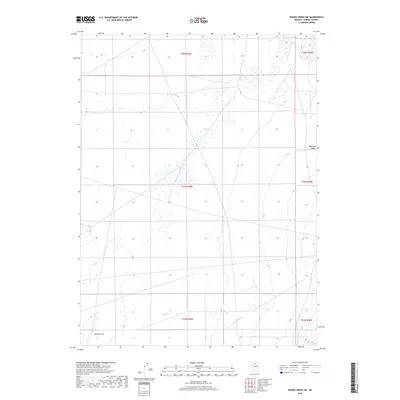
2018 Map of Rodeo Creek SW
USGS Topo · Published 2018About this map
Boulder Valley defines the northeastern reaches of this landscape in Eureka County, transitioning into the expansive Boulder Flat in the southwest. This 2018 survey, published by the U.S. Geological Survey, reflects a high-desert environment characterized by ephemeral water sources and seasonal wetlands, typical of the Great Basin's drainage patterns. The drainage of Boulder Cr provides a primary point of reference for the terrain's hydrology. The map's detail is primarily focused on the topographic relief and the public land survey system, illustrating the vast, unpopulated stretches of the Nevada interior. Researchers will find the township and range grids, such as t34n r49e, useful for identifying specific land parcels across this arid terrain.
Find a feature on this map
10 named features on this map. Tap any name to fly to it.
Don’t see what you’re looking for? This feature index may not catch every label — zoom into the map to look around manually.
Map Details
Editions of this 2018 Rodeo Creek SW Map
This is the sole edition of this map. No revisions or reprints were ever made.
Other maps of this area

1955 · Winnemucca
USGS Topo · 1:250,000

1957 · Dunphy
USGS Topo · 1:62,500

1957 · Beowawe
USGS Topo · 1:62,500

1958 · Winnemucca
USGS Topo · 1:250,000

1962 · Winnemucca
USGS Topo · 1:250,000

1965 · Sheep Creek Range NE
USGS Topo · 1:24,000

1965 · Sheep Creek Range SE
USGS Topo · 1:24,000

1968 · Rodeo Creek SW
USGS Topo · 1:24,000

1968 · Rodeo Creek NE
USGS Topo · 1:24,000

1968 · Welches Canyon
USGS Topo · 1:24,000