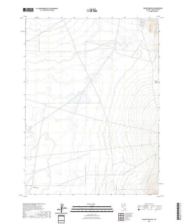
2021 Map of Rodeo Creek SW
USGS Topo · Published 2021About this map
Boulder Valley and Boulder Flat define the low-lying terrain of this interior drainage basin in northern Eureka County. The landscape is characterized by its hydrological features, specifically the intermittent flows of Boulder Creek and Mack Creek, which suggest a seasonal cycle of water movement across the alluvial floor. The absence of modern development or permanent infrastructure on this USGS survey underscores the expansive, undeveloped character of this part of Nevada, where the primary organizational structure is the Public Land Survey System grid spanning T33N through T35N. Local researchers and historians can use these topographic details to trace the natural geography of the basin as it was recorded in the early twenty-first century.
Find a feature on this map
10 named features on this map. Tap any name to fly to it.
Don’t see what you’re looking for? This feature index may not catch every label — zoom into the map to look around manually.
Map Details
Editions of this 2021 Rodeo Creek SW Map
This is the sole edition of this map. No revisions or reprints were ever made.
Other maps of this area

1955 · Winnemucca
USGS Topo · 1:250,000

1957 · Dunphy
USGS Topo · 1:62,500

1957 · Beowawe
USGS Topo · 1:62,500

1958 · Winnemucca
USGS Topo · 1:250,000

1962 · Winnemucca
USGS Topo · 1:250,000

1965 · Sheep Creek Range NE
USGS Topo · 1:24,000

1965 · Sheep Creek Range SE
USGS Topo · 1:24,000

1968 · Rodeo Creek SW
USGS Topo · 1:24,000

1968 · Rodeo Creek NE
USGS Topo · 1:24,000

1968 · Welches Canyon
USGS Topo · 1:24,000