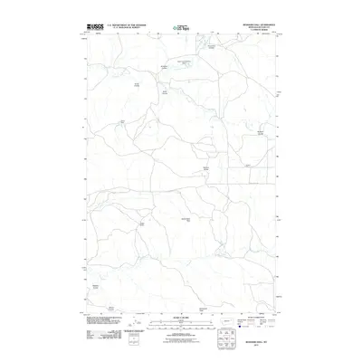
2011 Map of Rodgers Hall
USGS Topo · Published 2011About this map
Rodgers Hall serves as a focal point in this portion of McCone County, an area defined by its complex drainage systems and varied topographical landmarks. The landscape is carved by numerous coulees, including Anderson Coulee, Kvam Coulee, and Kurth Coulee, all contributing to the McGuire Creek basin. These seasonal watercourses dictate the local road network, such as Horse Creek Rd, which navigates the high ground near Romine Divide.
Find a feature on this map
19 named features on this map. Tap any name to fly to it.
Don’t see what you’re looking for? This feature index may not catch every label — zoom into the map to look around manually.
Map Details
Editions of this 2011 Rodgers Hall Map
This is the sole edition of this map. No revisions or reprints were ever made.
Other maps of this area

1954 · Jordan
USGS Topo · 1:250,000

1954 · Glendive
USGS Topo · 1:250,000

1956 · Jordan
USGS Topo · 1:250,000

1957 · Glendive
USGS Topo · 1:250,000

1958 · Jordan
USGS Topo · 1:250,000

1958 · Glendive
USGS Topo · 1:250,000

1964 · Jordan
USGS Topo · 1:250,000

1973 · Crow Springs
USGS Topo · 1:24,000

1973 · Rodgers Hall
USGS Topo · 1:24,000

1973 · Nelson Creek Bay
USGS Topo · 1:24,000