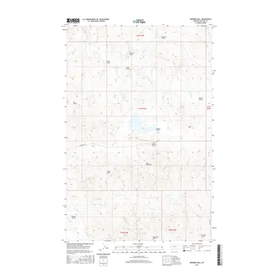
2017 Map of Rodgers Hall
USGS Topo · Published 2017About this map
Rodgers Hall and the rugged drainage systems of McCone County define this 2017 study of the Montana landscape. The area is characterized by a complex network of coulees, including Porcupine Coulee, Kvam Coulee, and Badgley Coulee, which channel water toward larger arteries like McGuire Cr and Nelson Cr. These landforms, interspersed with prominent features such as Devils Table Rock and Eagle Rock, reflect the erosional forces common to the eastern Montana plains.
Find a feature on this map
26 named features on this map. Tap any name to fly to it.
Don’t see what you’re looking for? This feature index may not catch every label — zoom into the map to look around manually.
Map Details
Editions of this 2017 Rodgers Hall Map
This is the sole edition of this map. No revisions or reprints were ever made.
Other maps of this area

1954 · Jordan
USGS Topo · 1:250,000

1954 · Glendive
USGS Topo · 1:250,000

1956 · Jordan
USGS Topo · 1:250,000

1957 · Glendive
USGS Topo · 1:250,000

1958 · Jordan
USGS Topo · 1:250,000

1958 · Glendive
USGS Topo · 1:250,000

1964 · Jordan
USGS Topo · 1:250,000

1973 · Crow Springs
USGS Topo · 1:24,000

1973 · Rodgers Hall
USGS Topo · 1:24,000

1973 · Nelson Creek Bay
USGS Topo · 1:24,000