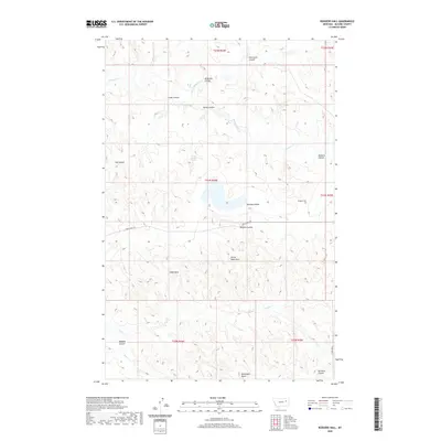
2020 Map of Rodgers Hall
USGS Topo · Published 2020About this map
Rodgers Hall sits at the center of this landscape in McCone County, a region defined by an intricate network of coulees and drainage systems. The terrain is marked by distinctive geological features such as Devils Table Rock, Eagle Rock, and McDonald Butte, which provide clear landmarks across the broken prairie. Water sources are scarce but significant, notably School Section Springs and the branching reaches of McGuire Cr and Nelson Cr. Transportation is limited to a few arterial routes like Horse Creek Rd, which cuts east-west across the Romine Divide. The map detail captures the remote character of this Montana ranching country, showing how the land is partitioned by name across various coulees, including Porcupine Coulee, Kvam Coulee, and Garfield Coulee.
Find a feature on this map
27 named features on this map. Tap any name to fly to it.
Don’t see what you’re looking for? This feature index may not catch every label — zoom into the map to look around manually.
Map Details
Editions of this 2020 Rodgers Hall Map
This is the sole edition of this map. No revisions or reprints were ever made.
Other maps of this area

1954 · Jordan
USGS Topo · 1:250,000

1954 · Glendive
USGS Topo · 1:250,000

1956 · Jordan
USGS Topo · 1:250,000

1957 · Glendive
USGS Topo · 1:250,000

1958 · Jordan
USGS Topo · 1:250,000

1958 · Glendive
USGS Topo · 1:250,000

1964 · Jordan
USGS Topo · 1:250,000

1973 · Crow Springs
USGS Topo · 1:24,000

1973 · Rodgers Hall
USGS Topo · 1:24,000

1973 · Nelson Creek Bay
USGS Topo · 1:24,000