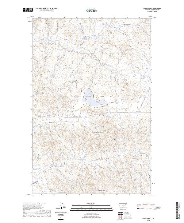
2024 Map of Rodgers Hall
USGS Topo · Published 2024About this map
McGuire Creek and its various tributaries, including the North Fork McGuire Creek, carve through the high plains of McCone County in this 2024 survey. The landscape is defined by its complex drainage systems and significant landforms, notably Devils Table Rock and McDonald Butte in the southern sections. This area of eastern Montana shows a sparse human footprint, primarily represented by Horse Creek Rd traversing the central portion of the map.
Find a feature on this map
23 named features on this map. Tap any name to fly to it.
Don’t see what you’re looking for? This feature index may not catch every label — zoom into the map to look around manually.
Map Details
Editions of this 2024 Rodgers Hall Map
This is the sole edition of this map. No revisions or reprints were ever made.
Other maps of this area

1954 · Jordan
USGS Topo · 1:250,000

1954 · Glendive
USGS Topo · 1:250,000

1956 · Jordan
USGS Topo · 1:250,000

1957 · Glendive
USGS Topo · 1:250,000

1958 · Jordan
USGS Topo · 1:250,000

1958 · Glendive
USGS Topo · 1:250,000

1964 · Jordan
USGS Topo · 1:250,000

1973 · Crow Springs
USGS Topo · 1:24,000

1973 · Rodgers Hall
USGS Topo · 1:24,000

1973 · Nelson Creek Bay
USGS Topo · 1:24,000