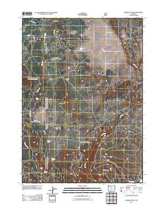
2011 Map of Rodman Rock
USGS Topo · Published 2011About this map
McKinley Ranch and Antelope Cow Camp anchor the high plateau landscape of this Klamath County region, where livestock grazing and ranching heritage remain the primary human signatures. The terrain is defined by a series of open basins and volcanic features, notably McCarty Butte and Dillon Butte, while Bear Flat and Antelope Flat provide the broad, level ground characteristic of this part of Oregon.
Find a feature on this map
25 named features on this map. Tap any name to fly to it.
Don’t see what you’re looking for? This feature index may not catch every label — zoom into the map to look around manually.
Map Details
Editions of this 2011 Rodman Rock Map
This is the sole edition of this map. No revisions or reprints were ever made.
Other maps of this area

1889 · Klamath
USGS Topo · 1:250,000

1894 · Klamath
USGS Topo · 1:250,000

1955 · Crescent
USGS Topo · 1:250,000

1955 · Klamath Falls
USGS Topo · 1:250,000

1957 · Crescent
USGS Topo · 1:250,000

1958 · Crescent
USGS Topo · 1:250,000

1958 · Klamath Falls
USGS Topo · 1:250,000

1960 · Sycan Marsh
USGS Topo · 1:62,500

1960 · Yamsay Mountain
USGS Topo · 1:62,500

1968 · Location Butte
USGS Topo · 1:24,000