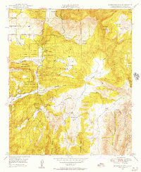
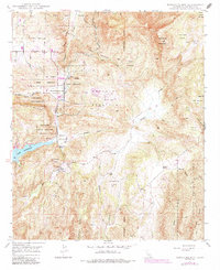
1948 Map of Rodriguez Mtn.
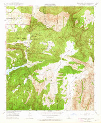
USGS Topo · Published 1957About this map
Rincon Indian Reservation and the San Pasqual Indian Reservation define much of this 1940s landscape, illustrating the complex land divisions of northern San Diego County. The terrain is marked by significant elevation changes, from the heights of Rodriguez Mountain and Paradise Mountain down to the canyon floor of Rockwood Canyon. The local water economy is anchored by Lake Wohlford, while the drainage of Upper Hellhole Creek and Guejito Creek underscores the importance of seasonal water sources in this environment.
Find a feature on this map
33 named features on this map. Tap any name to fly to it.
Don’t see what you’re looking for? This feature index may not catch every label — zoom into the map to look around manually.
Map Details
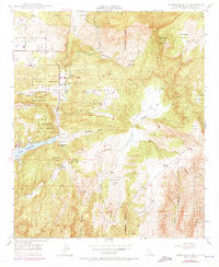
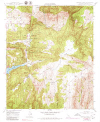
Editions of this 1948 Rodriguez Mtn. Map
6 editions found

Other maps of this area

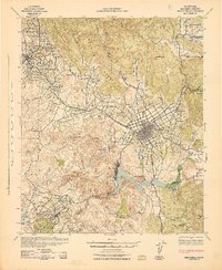
1893 · Escondido
USGS Topo · 1:62,500

1901 · Escondido
USGS Topo · 1:62,500

1901 · San Luis Rey
USGS Topo · 1:125,000

1903 · Ramona
USGS Topo · 1:125,000

1904 · Southern California Sheet No. 2
USGS Topo · 1:250,000

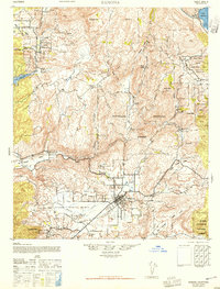
1939 · Palomar Mountain
USGS Topo · 1:62,500

1942 · Temecula
USGS Topo · 1:62,500
1942 · Escondido
USGS Topo · 1:62,500
1942 · Ramona
USGS Topo · 1:62,500
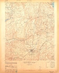
1947 · Ramona
USGS Topo · 1:62,500