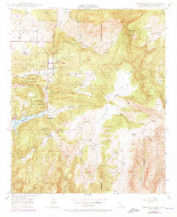
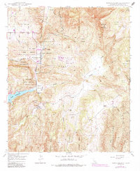
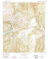
1948 Map of Rodriguez Mtn.
USGS Topo · Published 1973About this map
Rincon Indian Reservation and San Pasqual Indian Reservation lands dominate this interior San Diego County terrain, where the San Bernardino Meridian marks a significant cartographic boundary. The landscape transitions from the rugged heights of Rodriguez Mountain and Paradise Mountain down to the alluvial spreads of Sycamore Flats and Cienaga Flats. Water management and rural ranching define the human footprint, anchored by the reservoir at Lake Wohlford and the seasonal flows of Paradise Creek and Escondido Creek.
Find a feature on this map
29 named features on this map. Tap any name to fly to it.
Don’t see what you’re looking for? This feature index may not catch every label — zoom into the map to look around manually.
Map Details
Editions of this 1948 Rodriguez Mtn. Map
6 editions found
Other maps of this area

1893 · Escondido
USGS Topo · 1:62,500

1901 · Escondido
USGS Topo · 1:62,500

1901 · San Luis Rey
USGS Topo · 1:125,000

1903 · Ramona
USGS Topo · 1:125,000

1904 · Southern California Sheet No. 2
USGS Topo · 1:250,000

1939 · Palomar Mountain
USGS Topo · 1:62,500

1942 · Temecula
USGS Topo · 1:62,500

1942 · Escondido
USGS Topo · 1:62,500

1942 · Ramona
USGS Topo · 1:62,500

1947 · Ramona
USGS Topo · 1:62,500