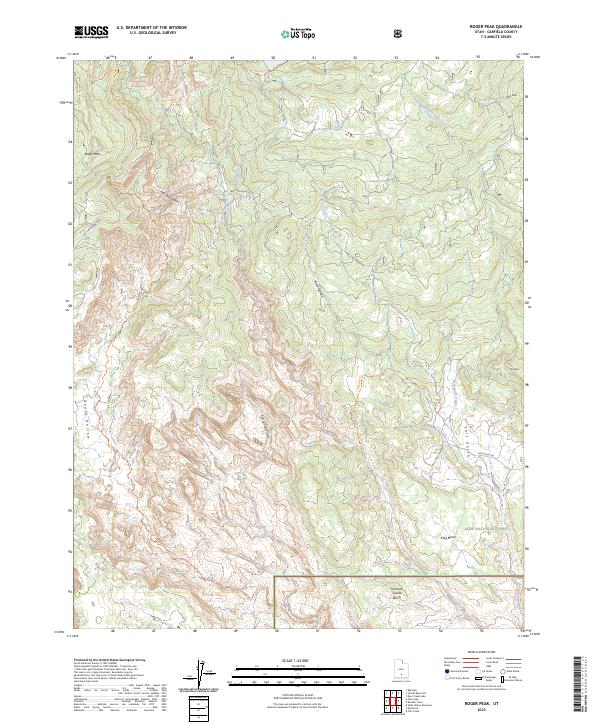
2023 Map of Roger Peak
USGS Topo · Published 2023About this map
Roger Peak and the high ridges of Hells Backbone define this high-altitude landscape within the Dixie National Forest. The geography is dominated by dramatic drainage systems, most notably the deep descent of Death Hollow and the winding course of Sweetwater Creek. This modern survey illustrates the preservation of this backcountry through the Box-Death Hollow Wilderness, where primitive routes like the Death Hollow Trl and Coleman Trl navigate the complex topography.
Find a feature on this map
22 named features on this map. Tap any name to fly to it.
Don’t see what you’re looking for? This feature index may not catch every label — zoom into the map to look around manually.
Map Details
Editions of this 2023 Roger Peak Map
This is the sole edition of this map. No revisions or reprints were ever made.
Other maps of this area

1885 · Fish Lake
USGS Topo · 1:250,000

1886 · Escalante
USGS Topo · 1:250,000

1896 · Fish Lake
USGS Topo · 1:250,000

1952 · Notom 3 SW
USGS Topo · 1:24,000

1952 · Grover
USGS Topo · 1:62,500

1956 · Escalante
USGS Topo · 1:250,000

1956 · Salina
USGS Topo · 1:250,000

1960 · Escalante
USGS Topo · 1:250,000

1960 · Salina
USGS Topo · 1:250,000

1962 · Salina
USGS Topo · 1:250,000