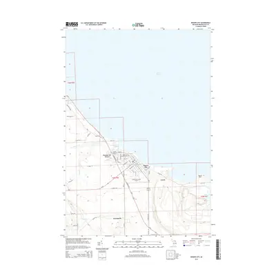
2014 Map of Rogers City
USGS Topo · Published 2014About this map
Rogers City serves as the industrial and civic anchor of this Presque Isle County coastline along the western shores of Lake Huron. The landscape is defined by the massive industrial operations at Calcite and the prominent Quarry Point, where the shoreline has been significantly altered by large-scale extraction. Inland, the terrain is shaped by the winding course of the Trout River and smaller tributaries like Hartwick Cr and Nagel's Cr. Local infrastructure is well-established, featuring the Presque Isle County Airport and a grid of streets including W Huron Ave and N Bradley Hwy. Small rural pockets like Bruningville and residential developments such as Presque Isle Estates provide a look at the settlement patterns surrounding the county seat, while the Rogers City Memorial Park Cem offers valuable documentation for local genealogical research.
Find a feature on this map
55 named features on this map. Tap any name to fly to it.
Don’t see what you’re looking for? This feature index may not catch every label — zoom into the map to look around manually.
Map Details
Editions of this 2014 Rogers City Map
This is the sole edition of this map. No revisions or reprints were ever made.
Other maps of this area

1954 · Alpena
USGS Topo · 1:250,000

1957 · Alpena
USGS Topo · 1:250,000

1958 · Alpena
USGS Topo · 1:250,000

1969 · Alpena
USGS Topo · 1:250,000

1971 · Rogers City
USGS Topo · 1:24,000

1971 · Hawks
USGS Topo · 1:24,000

1971 · Metz
USGS Topo · 1:24,000
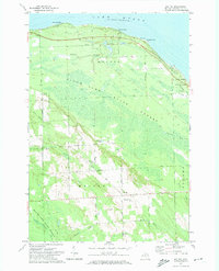
1971 · Moltke
USGS Topo · 1:24,000
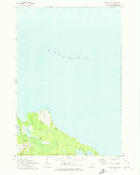
1971 · Adams Point
USGS Topo · 1:24,000
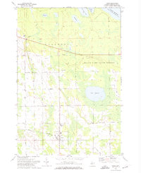
1971 · Posen
USGS Topo · 1:24,000