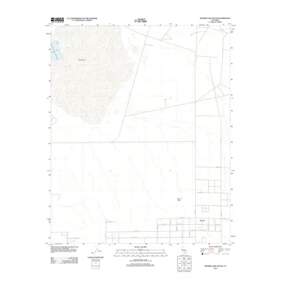
2012 Map of Rogers Lake South
USGS Topo · Published 2012About this map
Rogers Lake dominates the upper portion of this 2012 survey, its vast playa defining the geography of this Kern County region. The settlement of Hi Vista appears in the southeast, situated at a grid of desert roads including E Avenue E and 200th St E. The landscape transitions from the dry lakebed to the rising elevation of Mount Mesa in the central portion of the quadrangle. This map documents a high-desert environment where the rigid geometry of thoroughfares like Avenue C and E Avenue D overlays the natural desert floor, illustrating the structured layout of rural development in the Antelope Valley area during the early 21st century.
Find a feature on this map
23 named features on this map. Tap any name to fly to it.
Don’t see what you’re looking for? This feature index may not catch every label — zoom into the map to look around manually.
Map Details
Editions of this 2012 Rogers Lake South Map
This is the sole edition of this map. No revisions or reprints were ever made.
Other maps of this area

1930 · Joshua
USGS Topo · 1:24,000

1931 · Hi Vista
USGS Topo · 1:24,000

1934 · Joshua
USGS Topo · 1:24,000

1935 · Hi Vista
USGS Topo · 1:24,000

1937 · Shadow Mountains
USGS Topo · 1:48,000

1937 · Kramer
USGS Topo · 1:48,000

1937 · Rogers Lake
USGS Topo · 1:48,000

1942 · Kramer
USGS Topo · 1:62,500

1942 · Shadow Mountains
USGS Topo · 1:62,500

1942 · Rogers Lake
USGS Topo · 1:62,500