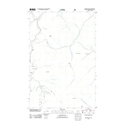
2011 Map of Rogers Pass
USGS Topo · Published 2011About this map
Rogers Pass serves as the topographic centerpiece of this high-elevation landscape in the early 21st century. The map documents a complex drainage system where the Middle Fork Dearborn River, West Prong Dearborn River, and South Fork Dearborn River converge amidst a series of prominent peaks including Sunset Mountain and Denton Mountain. This region is defined by its mining and resource extraction history, most notably evidenced by the Mike Horse Mine Dam and the Mike Horse site near Beartrap Creek.
Find a feature on this map
35 named features on this map. Tap any name to fly to it.
Don’t see what you’re looking for? This feature index may not catch every label — zoom into the map to look around manually.
Map Details
Editions of this 2011 Rogers Pass Map
This is the sole edition of this map. No revisions or reprints were ever made.
Other maps of this area

1889 · Helena
USGS Topo · 1:250,000

1893 · Helena
USGS Topo · 1:250,000

1899 · Helena
USGS Topo · 1:250,000

1903 · Helena
USGS Topo · 1:250,000

1943 · Hogan
USGS Topo · 1:125,000

1947 · Butte
USGS Topo · 1:250,000

1955 · Choteau
USGS Topo · 1:250,000

1957 · Choteau
USGS Topo · 1:250,000

1958 · Butte
USGS Topo · 1:250,000

1958 · Choteau
USGS Topo · 1:250,000