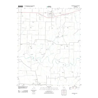
2011 Map of Rogersville
USGS Topo · Published 2011About this map
Rogersville and Sparta anchor this Ozarks landscape, where a dense network of country roads connects family burial grounds and small settlements like Cody, Pembina, and Velsor. The terrain is defined by the winding paths of Finley Creek and Pedelo Creek, which carve out notable landforms such as Peck Ridge and Bishop Hollow. Genealogy and local history are exceptionally well-represented here, with nearly twenty distinct cemeteries mapped, including Holland Cemetery, Spillens Cemetery, and the Braden Cemetery.
Find a feature on this map
132 named features on this map. Tap any name to fly to it.
Don’t see what you’re looking for? This feature index may not catch every label — zoom into the map to look around manually.
Map Details
Editions of this 2011 Rogersville Map
This is the sole edition of this map. No revisions or reprints were ever made.
Other maps of this area

1884 · Springfield
USGS Topo · 1:125,000

1886 · Springfield
USGS Topo · 1:125,000

1907 · Forsyth
USGS Topo · 1:125,000

1937 · Galloway
USGS Topo · 1:24,000

1937 · Bradleyville
USGS Topo · 1:48,000

1937 · Ozark
USGS Topo · 1:48,000

1939 · Fordland
USGS Topo · 1:62,500

1942 · Fordland
USGS Topo · 1:62,500

1943 · Ozark
USGS Topo · 1:62,500

1943 · Bradleyville
USGS Topo · 1:62,500