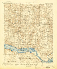
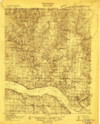
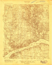
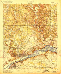
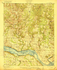
1916 Map of Rogersville
USGS Topo · Published 1945About this map
The Tennessee River flows through the heart of this landscape before the completion of major dams altered its course, revealing the complex navigation system of Muscle Shoals and early infrastructure like Lock No 3. At this time, the river is a collection of named landforms such as Cox Island and Tick Island, with Lambs Ferry serving as a vital crossing point between Lauderdale and Colbert counties. The interior terrain is defined by a dense network of country schools and churches that anchored rural life, including the Olive Hill School and Antioch Church. Local industry was tied directly to the waterways, evidenced by Mitchells Mill on Blue Water Creek and Ingram Mill on Second Creek. The settlement patterns around Lexington and Rogersville reflect a pre-inundation geography, where small communities like Thorntontown and Houstontown thrived alongside the river’s original banks.
Find a feature on this map
79 named features on this map. Tap any name to fly to it.
Don’t see what you’re looking for? This feature index may not catch every label — zoom into the map to look around manually.
Map Details
Editions of this 1916 Rogersville Map
2 editions found
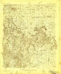
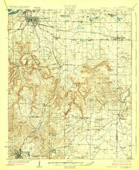
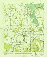
Other maps of this area

1905 · Waynesboro
USGS Topo · 1:125,000
1914 · Rogersville
USGS Topo · 1:48,000
1914 · Muscle Shoals
USGS Topo · 1:48,000
1916 · Muscle Shoals
USGS Topo · 1:62,500
1916 · Rogersville
USGS Topo · 1:62,500
1924 · Tuscumbia
USGS Topo · 1:48,000
1926 · Tuscumbia
USGS Topo · 1:62,500

1936 · Union Hill
USGS Topo · 1:24,000

1936 · Thorntontown
USGS Topo · 1:24,000
1936 · Courtland
USGS Topo · 1:24,000