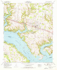
1974 Map of Rogersville
USGS Topo · Published 1975About this map
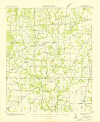
Wheeler Lake Tennessee River dominates the southern landscape of this mid-1970s survey, where the waters of the Elk River join the main channel. This area, updated by the Tennessee Valley Authority, shows the influence of the river on local development, with residential clusters like Wheeler Dam Village and Ramblewood Shores lining the banks. The map is a valuable resource for genealogists, documenting numerous family-named burial sites including McCartney Cem, Wallace Cem, and the Oliver-Bedingfield Memorial Cem. Inland, the settlement of Rogersville serves as a central hub, while smaller hamlets like Thorntontown and Toonersville sit along the Betty Highway. The northern portion of the map retains a rural character, marked by various country churches such as New Mt Bethel Ch and the prominent Joe Wheeler State Park near the river's bend.
Find a feature on this map
80 named features on this map. Tap any name to fly to it.
Don’t see what you’re looking for? This feature index may not catch every label — zoom into the map to look around manually.
Map Details
Editions of this 1974 Rogersville Map
This is the sole edition of this map. No revisions or reprints were ever made.
Other maps of this area
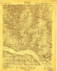
1914 · Rogersville
USGS Topo · 1:48,000
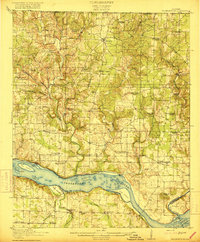
1916 · Rogersville
USGS Topo · 1:62,500

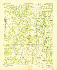
1936 · Union Hill
USGS Topo · 1:24,000

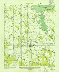
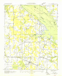
1936 · Thorntontown
USGS Topo · 1:24,000
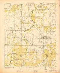
1936 · Courtland
USGS Topo · 1:24,000
1936 · Lexington
USGS Topo · 1:24,000
1936 · Hillsboro
USGS Topo · 1:24,000
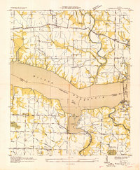
1936 · Wheeler Dam
USGS Topo · 1:24,000
1936 · Town Creek
USGS Topo · 1:24,000
1936 · Center Hill
USGS Topo · 1:24,000