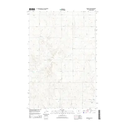
2014 Map of Rohrich Dam
USGS Topo · Published 2014About this map
Clear Cr meanders through the heart of the rolling Emmons County landscape, providing the primary drainage for this rural agricultural region. The water management of the mid-21st century is evident in the presence of Springwater Dam in the west and Rohrich Dam in the southeast, features that speak to the essential role of water retention in the North Dakota plains. The map reveals a highly structured grid of section lines, with roads such as 77th St SE and 17th Ave SE defining the movement of people across the prairie. For genealogists and local historians, the placement of Omio Cem and Martins Cem serves as a vital record of the early families who settled this territory, anchoring the vast township system with tangible markers of community heritage.
Find a feature on this map
22 named features on this map. Tap any name to fly to it.
Don’t see what you’re looking for? This feature index may not catch every label — zoom into the map to look around manually.
Map Details
Editions of this 2014 Rohrich Dam Map
This is the sole edition of this map. No revisions or reprints were ever made.
Other maps of this area

1953 · Jamestown
USGS Topo · 1:250,000

1954 · Bismarck
USGS Topo · 1:250,000

1956 · Jamestown
USGS Topo · 1:250,000

1958 · Bismarck
USGS Topo · 1:250,000

1971 · Strasburg
USGS Topo · 1:24,000

1975 · Appert Lake
USGS Topo · 1:24,000

1975 · Linton NE
USGS Topo · 1:24,000

1979 · Senger Lake North
USGS Topo · 1:24,000

1979 · Schell Buttes SW
USGS Topo · 1:24,000

1979 · Schell Buttes NW
USGS Topo · 1:24,000