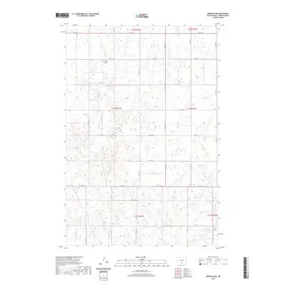
2020 Map of Rohrich Dam
USGS Topo · Published 2020About this map
The agrarian landscape of Emmons County is defined by its subtle drainage patterns and isolated burial grounds. Clear Cr meanders south through the quadrangle, carving a low-lying valley across the rolling plains. This network of small, intermittent streams and coulees dictates the placement of rural infrastructure and agricultural boundaries. Evidence of the area's early family and church foundations is preserved through local landmarks such as Loebs Baptist Cem and Omio Cem. The southern edge of the survey is anchored by Rohrich Dam, a man-made feature that gathers the local watershed near Martins Cem. The section-line road grid remains the primary skeleton for travel, connecting these scattered historical markers across the North Dakota prairie.
Find a feature on this map
1 named feature on this map. Tap any name to fly to it.
Don’t see what you’re looking for? This feature index may not catch every label — zoom into the map to look around manually.
Map Details
Editions of this 2020 Rohrich Dam Map
This is the sole edition of this map. No revisions or reprints were ever made.
Other maps of this area

1953 · Jamestown
USGS Topo · 1:250,000

1954 · Bismarck
USGS Topo · 1:250,000

1956 · Jamestown
USGS Topo · 1:250,000

1958 · Bismarck
USGS Topo · 1:250,000

1971 · Strasburg
USGS Topo · 1:24,000

1975 · Appert Lake
USGS Topo · 1:24,000

1975 · Linton NE
USGS Topo · 1:24,000

1979 · Senger Lake North
USGS Topo · 1:24,000

1979 · Schell Buttes SW
USGS Topo · 1:24,000

1979 · Schell Buttes NW
USGS Topo · 1:24,000