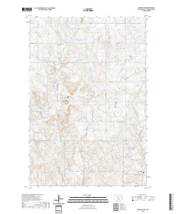
2024 Map of Rohrich Dam
USGS Topo · Published 2024About this map
Springwater National Wildlife Refuge occupies a significant portion of this Emmons County landscape, providing a preserved habitat amidst the sectioned agricultural terrain of the Dakotas. The land is defined by a series of family and community landmarks, including Bethlehem Cem and Loebs Baptist Cem in the northwest, and Omio Cem further south. These sites, along with Martins Cem near the eastern boundary, offer essential clues for genealogists and local historians tracing the settlement patterns of this rural township system. Clear Creek winds through the central area, eventually leading toward Rohrich Dam in the southeast. The map reveals a strictly organized grid of rural roads, such as 80th St SE and 20th Ave SE, which facilitate travel between the scattered homesteads and burial grounds that anchor the community's history.
Find a feature on this map
30 named features on this map. Tap any name to fly to it.
Don’t see what you’re looking for? This feature index may not catch every label — zoom into the map to look around manually.
Map Details
Editions of this 2024 Rohrich Dam Map
This is the sole edition of this map. No revisions or reprints were ever made.
Other maps of this area

1953 · Jamestown
USGS Topo · 1:250,000

1954 · Bismarck
USGS Topo · 1:250,000

1956 · Jamestown
USGS Topo · 1:250,000

1958 · Bismarck
USGS Topo · 1:250,000

1971 · Strasburg
USGS Topo · 1:24,000

1975 · Appert Lake
USGS Topo · 1:24,000

1975 · Linton NE
USGS Topo · 1:24,000

1979 · Senger Lake North
USGS Topo · 1:24,000

1979 · Schell Buttes SW
USGS Topo · 1:24,000

1979 · Schell Buttes NW
USGS Topo · 1:24,000