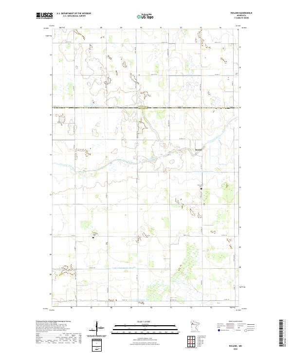
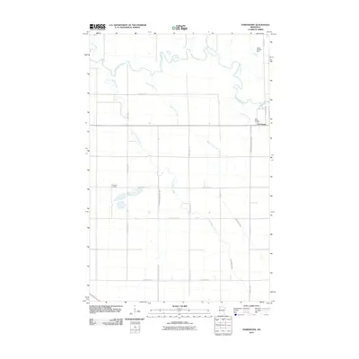
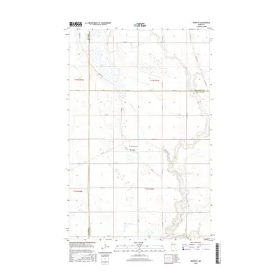
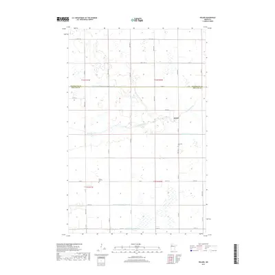
2022 Map of Roland
USGS Topo · Published 2022About this map
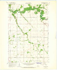
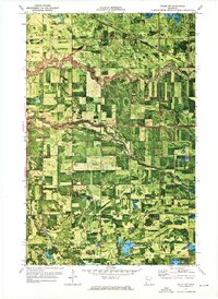
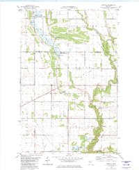
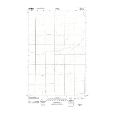
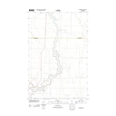
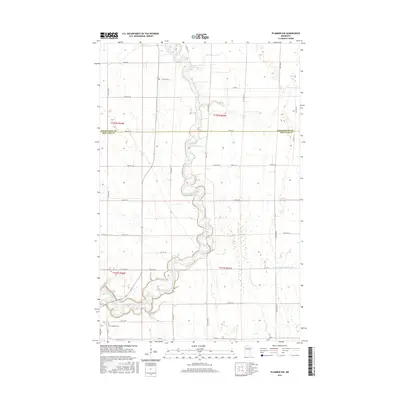
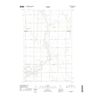
The Clearwater River snakes through the center of this rural Minnesota landscape, marking the boundary between Pennington Co and Red Lake Co. This survey illustrates a highly engineered water system essential for the region's agriculture, defined by a complex network of man-made waterways including Judicial Ditch Number One and Judicial Ditch Number Three. The small settlement of Roland sits near the river crossing, serving as a quiet focal point in a territory largely organized by a strict grid of county and township roads.
Find a feature on this map
39 named features on this map. Tap any name to fly to it.
Don’t see what you’re looking for? This feature index may not catch every label — zoom into the map to look around manually.
Map Details
Editions of this 2022 Roland Map
This is the sole edition of this map. No revisions or reprints were ever made.
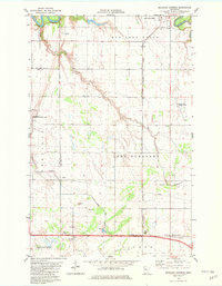
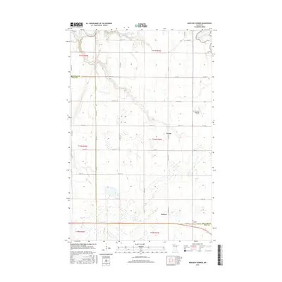
Historical Maps of Roland Through Time
44 maps found
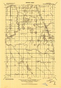
1918 Terrebonne
Red Lake County, MN
1919 Grit
Red Lake County, MN
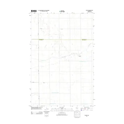
1964 Plummer NW
Red Lake County, MN
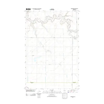
1964 Terrebonne
Red Lake County, MN
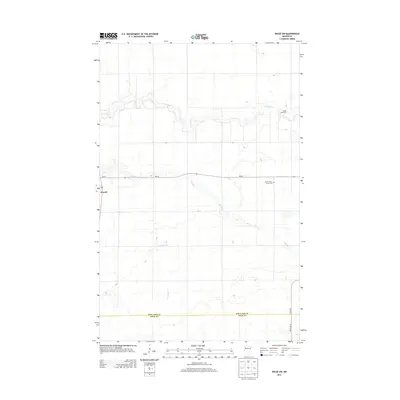
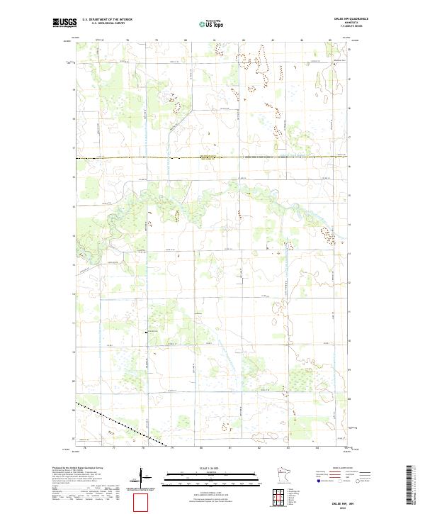
1971 Oklee SW
Red Lake County, MN
1971 Roland
Red Lake County, MN
1972 Oklee NW
Red Lake County, MN
1982 Dorothy
Red Lake County, MN
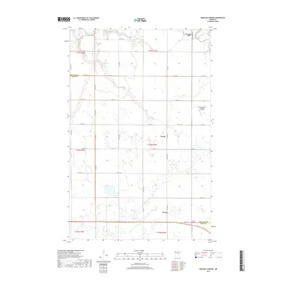
1982 Marcoux Corners
Red Lake County, MN
2010 Dorothy
Red Lake County, MN
2010 Marcoux Corners
Red Lake County, MN
2010 Oklee NW
Red Lake County, MN
2010 Oklee SW
Red Lake County, MN
2010 Plummer NW
Red Lake County, MN
2010 Roland
Red Lake County, MN
2010 Terrebonne
Red Lake County, MN
2013 Dorothy
Red Lake County, MN
2013 Marcoux Corners
Red Lake County, MN
2013 Oklee NW
Red Lake County, MN
2013 Oklee SW
Red Lake County, MN
2013 Plummer NW
Red Lake County, MN
2013 Roland
Red Lake County, MN
2013 Terrebonne
Red Lake County, MN
2016 Dorothy
Red Lake County, MN
2016 Marcoux Corners
Red Lake County, MN
2016 Oklee NW
Red Lake County, MN
2016 Oklee SW
Red Lake County, MN
2016 Plummer NW
Red Lake County, MN
2016 Roland
Red Lake County, MN
2016 Terrebonne
Red Lake County, MN
2019 Dorothy
Red Lake County, MN
2019 Marcoux Corners
Red Lake County, MN
2019 Oklee NW
Red Lake County, MN
2019 Oklee SW
Red Lake County, MN
2019 Plummer NW
Red Lake County, MN
2019 Roland
Red Lake County, MN
2019 Terrebonne
Red Lake County, MN
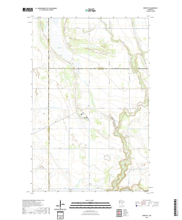
2022 Dorothy
Red Lake County, MN
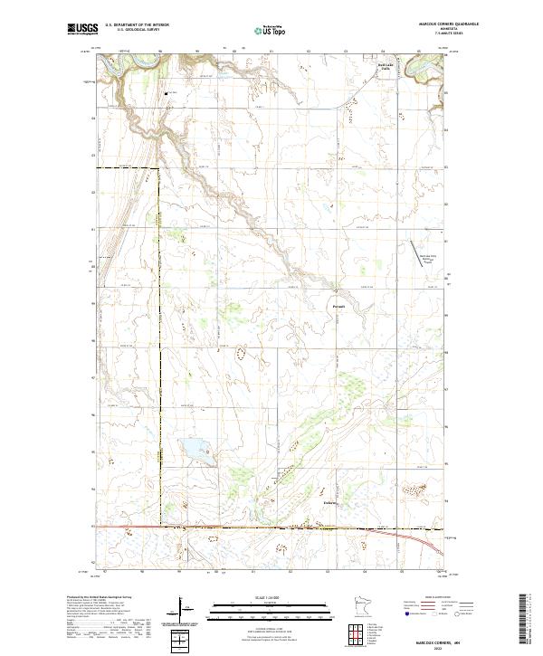
2022 Marcoux Corners
Red Lake County, MN
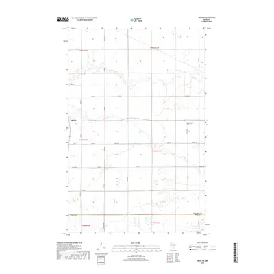
2022 Oklee NW
Red Lake County, MN
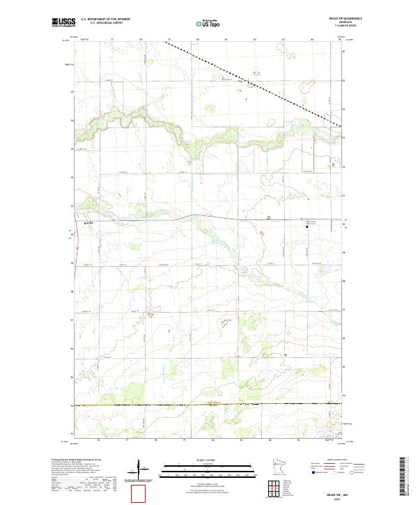
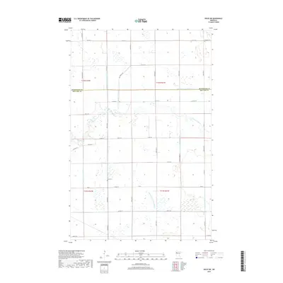
2022 Oklee SW
Red Lake County, MN
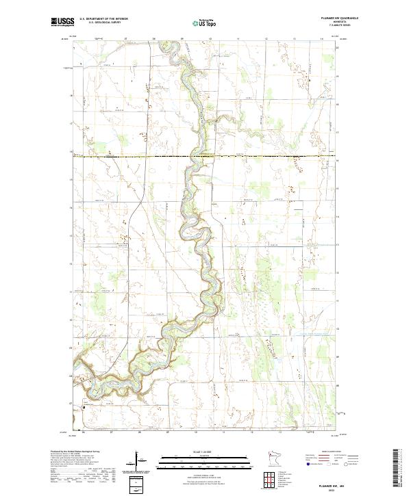
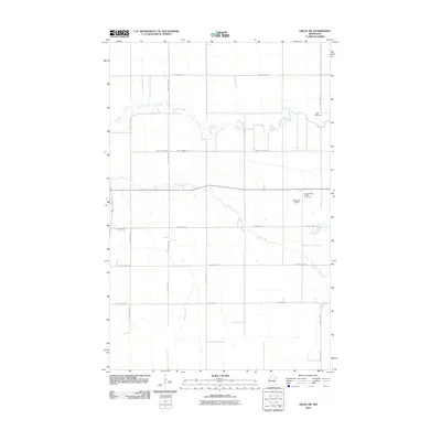
2022 Plummer NW
Red Lake County, MN
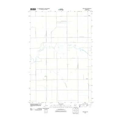
2022 Roland
Red Lake County, MN
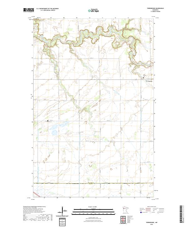
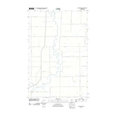
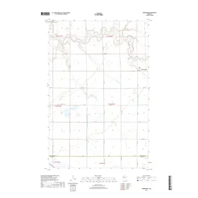
2022 Terrebonne
Red Lake County, MN