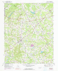
1967 Map of Rolesville
USGS Topo · Published 1990About this map
Rolesville serves as a central hub on this North Carolina landscape, where the agricultural traditions of the Piedmont meet the expanding infrastructure of the late 1960s. The map illustrates a transition from the Seaboard Coast Line corridor in Wake Forest to a web of rural crossroads including Lassiter, Barham, and Harris Crossroads. Water management is prominent, featuring the Wake Forest Reservoir and numerous smaller impoundments like Moores Pond and Penny Hill Lake, which likely supported local farming and milling operations such as Mitchell Millpond. Local spiritual and community life is anchored by several country churches, including Oak Grove Ch and Beulah Ch. An interesting industrial feature is the Quarry near Lassiter, and the presence of an Old Railroad Grade provides a clear view of an earlier transportation network that once bypassed the current commercial centers.
Find a feature on this map
37 named features on this map. Tap any name to fly to it.
Don’t see what you’re looking for? This feature index may not catch every label — zoom into the map to look around manually.
Map Details
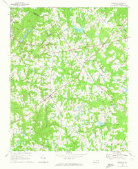
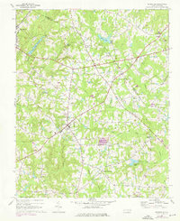
Editions of this 1967 Rolesville Map
3 editions found
Other maps of this area

1943 · Raleigh
USGS Topo · 1:62,500

1943 · Creedmoor
USGS Topo · 1:62,500

1944 · Creedmoor
USGS Topo · 1:62,500

1951 · Raleigh
USGS Topo · 1:62,500

1953 · Raleigh
USGS Topo · 1:250,000

1953 · Greensboro
USGS Topo · 1:250,000

1954 · Greensboro
USGS Topo · 1:250,000

1954 · Raleigh
USGS Topo · 1:250,000

1962 · Greensboro
USGS Topo · 1:250,000

1966 · Greensboro
USGS Topo · 1:250,000