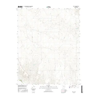
2016 Map of Roll NW
USGS Topo · Published 2016About this map
The Canadian River cuts through the southwestern corner of this landscape, marking a clear boundary between Ellis Co and Roger Mills County. This section of western Oklahoma is characterized by its drainage patterns and water management, featuring several significant basins. Packsaddle Lake sits centrally within the undulating terrain, while the Bradshaw Number 1 Reservoir captures flow from Sand Cr in the northeast. The area is defined by a sparse but structured grid of rural routes, such as N1890 Rd and E0770 Rd, which provide access to the remote cattle country and agricultural lands. The map shows the land just as it appeared in the mid-2010s, illustrating the persistent importance of water resources in this arid region of the High Plains.
Find a feature on this map
13 named features on this map. Tap any name to fly to it.
Don’t see what you’re looking for? This feature index may not catch every label — zoom into the map to look around manually.
Map Details
Editions of this 2016 Roll NW Map
This is the sole edition of this map. No revisions or reprints were ever made.
Other maps of this area

1955 · Clinton
USGS Topo · 1:250,000

1955 · Woodward
USGS Topo · 1:250,000

1957 · Clinton
USGS Topo · 1:250,000

1958 · Woodward
USGS Topo · 1:250,000

1965 · Roll NE
USGS Topo · 1:24,000

1965 · Roll NW
USGS Topo · 1:24,000

1965 · Crawford
USGS Topo · 1:24,000

1966 · Roll
USGS Topo · 1:24,000

1966 · Antelope Hills NE
USGS Topo · 1:24,000

1966 · Roll SE
USGS Topo · 1:24,000