
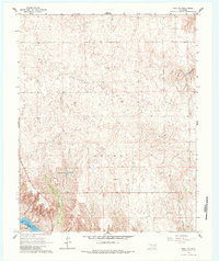
1965 Map of Roll NW
USGS Topo · Published 1967About this map
The Canadian River winds through the southwestern corner of this survey, defining the natural boundary between Ellis County and Roger Mills County. This mid-century landscape is characterized by its intermittent drainage patterns and industrial activity, evidenced by an Oil Well and a Drill Hole located in the interior plains. These features suggest an era of active subsurface exploration across the Grand district.
Find a feature on this map
8 named features on this map. Tap any name to fly to it.
Don’t see what you’re looking for? This feature index may not catch every label — zoom into the map to look around manually.
Map Details
Editions of this 1965 Roll NW Map
2 editions found
Other maps of this area

1955 · Clinton
USGS Topo · 1:250,000

1955 · Woodward
USGS Topo · 1:250,000

1957 · Clinton
USGS Topo · 1:250,000

1958 · Woodward
USGS Topo · 1:250,000

1965 · Roll NE
USGS Topo · 1:24,000

1965 · Crawford
USGS Topo · 1:24,000

1966 · Roll
USGS Topo · 1:24,000

1966 · Antelope Hills NE
USGS Topo · 1:24,000

1966 · Roll SE
USGS Topo · 1:24,000

1970 · Arnett SE
USGS Topo · 1:24,000