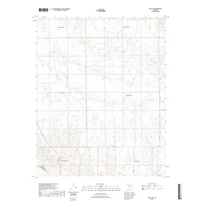
2018 Map of Roll NW
USGS Topo · Published 2018About this map
The Canadian River meanders across the southern border of this landscape, marking the physical boundary between Ellis Co and Roger Mills Co. This portion of western Oklahoma is characterized by its hydrologic features, notably the Bradshaw Number 1 Reservoir in the northeast and the isolated Packsaddle Lake further west. The terrain is etched by drainage systems including Sand Cr and W Cr, which feed into the primary river valley. A grid of section roads like N1890 Rd and E0770 Rd provides access across the townships of T18N, T17N, and T16N. The map illustrates a contemporary rural landscape where water management and traditional land divisions define the modern topography of the Great Plains.
Find a feature on this map
20 named features on this map. Tap any name to fly to it.
Don’t see what you’re looking for? This feature index may not catch every label — zoom into the map to look around manually.
Map Details
Editions of this 2018 Roll NW Map
This is the sole edition of this map. No revisions or reprints were ever made.
Other maps of this area

1955 · Clinton
USGS Topo · 1:250,000

1955 · Woodward
USGS Topo · 1:250,000

1957 · Clinton
USGS Topo · 1:250,000

1958 · Woodward
USGS Topo · 1:250,000

1965 · Roll NE
USGS Topo · 1:24,000

1965 · Roll NW
USGS Topo · 1:24,000

1965 · Crawford
USGS Topo · 1:24,000

1966 · Roll
USGS Topo · 1:24,000

1966 · Antelope Hills NE
USGS Topo · 1:24,000

1966 · Roll SE
USGS Topo · 1:24,000