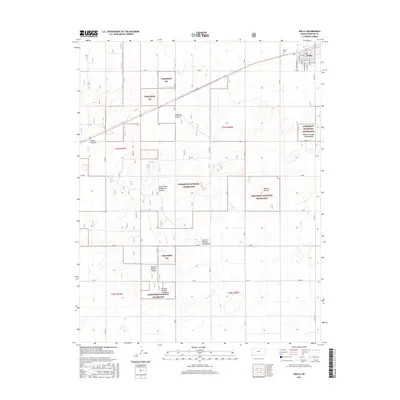
2016 Map of Rolla
USGS Topo · Published 2016About this map
Rolla serves as the primary hub in this corner of Morton County, with its residential grid defined by streets named after United States presidents, including Eisenhower St, Monroe St, and Van Buren St. To the northwest of the town center lies the Rolla Cem, a significant site for local genealogical research. The surrounding landscape is defined by the vast reaches of the Cimarron National Grassland, which is organized into distinct grazing units and named tracts.
Find a feature on this map
40 named features on this map. Tap any name to fly to it.
Don’t see what you’re looking for? This feature index may not catch every label — zoom into the map to look around manually.
Map Details
Editions of this 2016 Rolla Map
This is the sole edition of this map. No revisions or reprints were ever made.
Other maps of this area

1954 · Perryton
USGS Topo · 1:250,000

1955 · Dodge City
USGS Topo · 1:250,000

1958 · Perryton
USGS Topo · 1:250,000

1958 · Dodge City
USGS Topo · 1:250,000

1959 · Dodge City
USGS Topo · 1:250,000

1973 · Rolla NW
USGS Topo · 1:24,000

1973 · Elkhart NE
USGS Topo · 1:24,000

1973 · Rolla NE
USGS Topo · 1:24,000

1973 · Hough NE
USGS Topo · 1:24,000

1973 · Hough NW
USGS Topo · 1:24,000