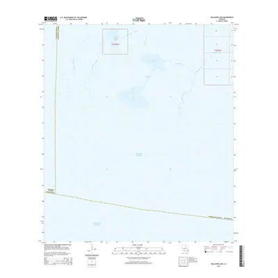
2015 Map of Rollover Lake
USGS Topo · Published 2015About this map
Gulf of Mexico tides meet the intricate wetland network of western Vermilion Parish in this coastal survey. The landscape is defined by its labyrinthine hydrography, where Pigeon Bayou and East Constance Bayou drain into larger coastal basins like East Constance Lake. These brackish waters and salt marshes reflect the transition from the interior prairies of Louisiana to the open sea. Human activity is largely limited to the township and range survey lines of t16s r2w and t16s r1w, alongside the straight-cut path of Dyson Ditch in the northeast. The interaction of major water bodies such as Rollover Lake and Flat Lake with smaller channels like Muskrat Bayou and Rollover Bayou illustrates the dynamic nature of the chenier plain, an area where subtle changes in elevation dictate the flow of water and the reach of the shoreline.
Find a feature on this map
27 named features on this map. Tap any name to fly to it.
Don’t see what you’re looking for? This feature index may not catch every label — zoom into the map to look around manually.
Map Details
Editions of this 2015 Rollover Lake Map
This is the sole edition of this map. No revisions or reprints were ever made.
Other maps of this area

1932 · Constance Bayou NE
USGS Topo · 1:31,680

1932 · Constance Bayou SW
USGS Topo · 1:31,680

1932 · Pecan Island SW
USGS Topo · 1:31,680

1932 · Constance Bayou SE
USGS Topo · 1:31,680

1932 · Constance Bayou NW
USGS Topo · 1:31,680

1945 · Pecan Island NW
USGS Topo · 1:31,680

1951 · Pecan Island
USGS Topo · 1:62,500
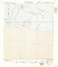
1954 · Constance Bayou SE
USGS Topo · 1:31,680
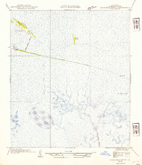
1954 · Constance Bayou NW
USGS Topo · 1:31,680
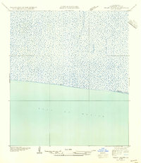
1954 · Pecan Island SW
USGS Topo · 1:31,680