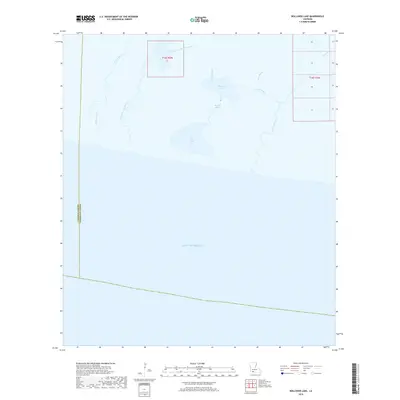
2018 Map of Rollover Lake
USGS Topo · Published 2018About this map
The salt marshes and coastal wetlands of Vermilion Parish meet the Gulf of Mexico in this specialized hydrographic study. The landscape is defined by an intricate network of waterways, where the slow movement of the tides is traced through Rollover Bayou and Pigeon Bayou. This environment is a classic example of the Louisiana chenier plain, where water and land are in constant flux, separated by subtle variations in elevation that dictate the path of Muskrat Bayou and North Bayou.
Find a feature on this map
22 named features on this map. Tap any name to fly to it.
Don’t see what you’re looking for? This feature index may not catch every label — zoom into the map to look around manually.
Map Details
Editions of this 2018 Rollover Lake Map
This is the sole edition of this map. No revisions or reprints were ever made.
Other maps of this area

1932 · Constance Bayou NE
USGS Topo · 1:31,680

1932 · Constance Bayou SW
USGS Topo · 1:31,680

1932 · Pecan Island SW
USGS Topo · 1:31,680

1932 · Constance Bayou SE
USGS Topo · 1:31,680

1932 · Constance Bayou NW
USGS Topo · 1:31,680

1945 · Pecan Island NW
USGS Topo · 1:31,680

1951 · Pecan Island
USGS Topo · 1:62,500
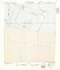
1954 · Constance Bayou SE
USGS Topo · 1:31,680
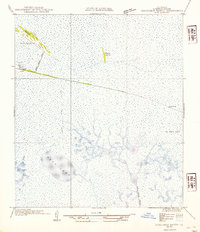
1954 · Constance Bayou NW
USGS Topo · 1:31,680
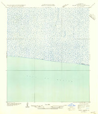
1954 · Pecan Island SW
USGS Topo · 1:31,680