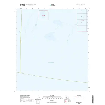
2020 Map of Rollover Lake
USGS Topo · Published 2020About this map
Pigeon Bayou and East Little Constance Bayou weave through the marshland of this coastal quadrangle, where the boundary between Cameron Parish and Vermilion Parish meets the open waters of the Gulf of Mexico. The landscape is dominated by tidal hydrology, characterized by shallow basins like Rollover Lake and Flat Lake. These water bodies are interconnected by a network of natural channels, including Muskrat Bayou and Parra Bayou, reflecting a wilderness environment shaped by seasonal shifts and sediment deposition. Man-made interventions are sparse in this wetland reach, with Dyson Ditch serving as one of the few named drainage features among the vast system of natural bayous and north-reaching inlets.
Find a feature on this map
23 named features on this map. Tap any name to fly to it.
Don’t see what you’re looking for? This feature index may not catch every label — zoom into the map to look around manually.
Map Details
Editions of this 2020 Rollover Lake Map
This is the sole edition of this map. No revisions or reprints were ever made.
Other maps of this area

1932 · Constance Bayou NE
USGS Topo · 1:31,680

1932 · Constance Bayou SW
USGS Topo · 1:31,680

1932 · Pecan Island SW
USGS Topo · 1:31,680

1932 · Constance Bayou SE
USGS Topo · 1:31,680

1932 · Constance Bayou NW
USGS Topo · 1:31,680

1945 · Pecan Island NW
USGS Topo · 1:31,680

1951 · Pecan Island
USGS Topo · 1:62,500
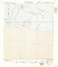
1954 · Constance Bayou SE
USGS Topo · 1:31,680
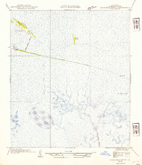
1954 · Constance Bayou NW
USGS Topo · 1:31,680
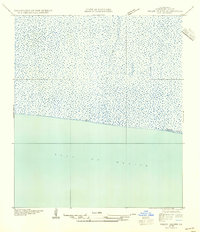
1954 · Pecan Island SW
USGS Topo · 1:31,680