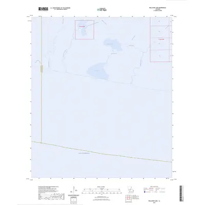
2024 Map of Rollover Lake
USGS Topo · Published 2024About this map
The Gulf of Mexico coastline defines this coastal landscape where the waters of the Gulf meet the intricate marshland drainage of Vermilion Parish and Cameron Parish. The interior is dominated by wide, shallow basins such as Flat Lake and Rollover Lake, which are interconnected by a labyrinthine network of tidal channels. Waterways like Muskrat Bayou, East Constance Bayou, and Rollover Bayou trace the low-lying topography, illustrating the fluid boundaries between the coastal wetlands and the sea. This contemporary survey shows the coastal margin as it exists in the early twenty-first century, highlighting man-made alterations to the drainage pattern like Dyson Ditch alongside natural features such as North Bayou and Pigeon Bayou. The absence of roads or settlements emphasizes the remote, aquatic nature of this Gulf Coast environment.
Find a feature on this map
15 named features on this map. Tap any name to fly to it.
Don’t see what you’re looking for? This feature index may not catch every label — zoom into the map to look around manually.
Map Details
Editions of this 2024 Rollover Lake Map
This is the sole edition of this map. No revisions or reprints were ever made.
Other maps of this area

1932 · Constance Bayou NE
USGS Topo · 1:31,680

1932 · Constance Bayou SW
USGS Topo · 1:31,680

1932 · Pecan Island SW
USGS Topo · 1:31,680

1932 · Constance Bayou SE
USGS Topo · 1:31,680

1932 · Constance Bayou NW
USGS Topo · 1:31,680

1945 · Pecan Island NW
USGS Topo · 1:31,680

1951 · Pecan Island
USGS Topo · 1:62,500
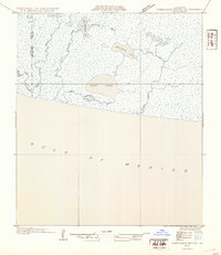
1954 · Constance Bayou SE
USGS Topo · 1:31,680
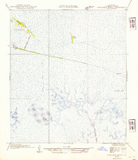
1954 · Constance Bayou NW
USGS Topo · 1:31,680
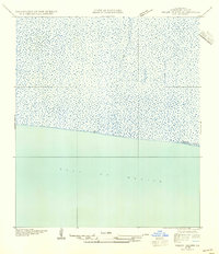
1954 · Pecan Island SW
USGS Topo · 1:31,680