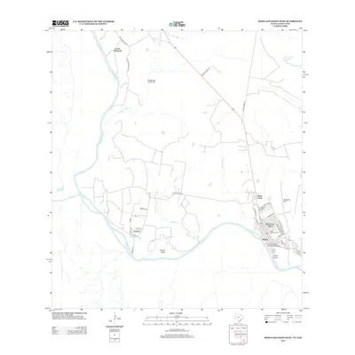
2012 Map of Roma-Los Saenz West
USGS Topo · Published 2012About this map
The Rio Grande serves as the focal point of this borderlands region, winding between Texas and Mexico near the community of Roma. The town’s significant heritage is anchored by the Roma Historic District and the Roma-San Pedro International Bridge, which connects the United States to Ciudad Miguel Alemán. To the west, the river creates unique geographical features such as Fronton Island near the settlement of Fronton.
Find a feature on this map
41 named features on this map. Tap any name to fly to it.
Don’t see what you’re looking for? This feature index may not catch every label — zoom into the map to look around manually.
Map Details
Editions of this 2012 Roma-Los Saenz West Map
This is the sole edition of this map. No revisions or reprints were ever made.
Other maps of this area

1938 · Falcon
USGS Topo · 1:62,500

1938 · El Sauz
USGS Topo · 1:62,500

1949 · Mc Allen
USGS Topo · 1:250,000

1954 · McAllen
USGS Topo · 1:250,000

1956 · Escobares
USGS Topo · 1:62,500

1956 · Roma
USGS Topo · 1:62,500

1957 · Mc Allen
USGS Topo · 1:250,000

1962 · McAllen
USGS Topo · 1:250,000

1965 · Los Garzas
USGS Topo · 1:24,000

1965 · Salineno
USGS Topo · 1:24,000