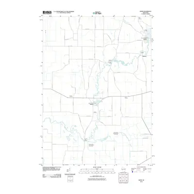
2010 Map of Rome
USGS Topo · Published 2010About this map
The Bark River and its tributaries carve a complex path through the Jefferson County countryside, anchoring the primary settlements of Rome, Hebron, and Slabtown. This landscape is defined by its water management and agricultural infrastructure, featuring several water control points such as the Cushman Dam and Hebron 2WP441 Dam. The topography reveals a history of communal organization, with numerous burial grounds including Saint Lukes Cemetery, Riverview Cemetery, and Munroe Cemetery serving the rural population. To the south, the Scuppernong River joins the system near the Princess Point Bridge, where a series of wildlife area dams regulate the flow near Mud Crk. The intricate network of local roads like Paradise Rd and County Hwy D connects these small crossroads communities, reflecting the long-established surveyor's grid of the Wisconsin heartland.
Find a feature on this map
57 named features on this map. Tap any name to fly to it.
Don’t see what you’re looking for? This feature index may not catch every label — zoom into the map to look around manually.
Map Details
Editions of this 2010 Rome Map
This is the sole edition of this map. No revisions or reprints were ever made.
Other maps of this area

1891 · Waterloo
USGS Topo · 1:62,500

1891 · Koshkonong
USGS Topo · 1:62,500

1892 · Watertown
USGS Topo · 1:62,500

1892 · Whitewater
USGS Topo · 1:62,500

1893 · Whitewater
USGS Topo · 1:62,500

1894 · Waterloo
USGS Topo · 1:62,500

1894 · Watertown
USGS Topo · 1:62,500

1894 · Koshkonong
USGS Topo · 1:62,500

1903 · Whitewater
USGS Topo · 1:62,500

1906 · Koshkonong
USGS Topo · 1:62,500