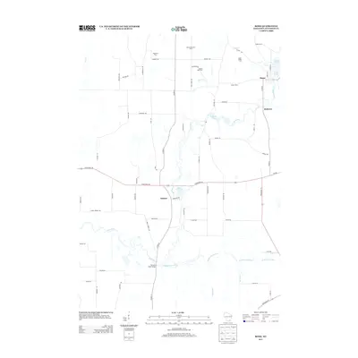
2013 Map of Rome
USGS Topo · Published 2013About this map
The Bark River and Scuppernong River converge in this Jefferson County landscape, shaping a region defined by established family farmsteads and small riverside settlements. The community of Hebron sits near the center of the sheet, while the northern reaches are anchored by Rome and the neighboring Slabtown area along the banks of the river. The map documents an extensive agricultural network, specifically identifying named properties such as Maple Run Farm, Royal Betschler Farms, and Schelm Farms.
Find a feature on this map
63 named features on this map. Tap any name to fly to it.
Don’t see what you’re looking for? This feature index may not catch every label — zoom into the map to look around manually.
Map Details
Editions of this 2013 Rome Map
This is the sole edition of this map. No revisions or reprints were ever made.
Other maps of this area

1891 · Waterloo
USGS Topo · 1:62,500

1891 · Koshkonong
USGS Topo · 1:62,500

1892 · Watertown
USGS Topo · 1:62,500

1892 · Whitewater
USGS Topo · 1:62,500

1893 · Whitewater
USGS Topo · 1:62,500

1894 · Waterloo
USGS Topo · 1:62,500

1894 · Watertown
USGS Topo · 1:62,500

1894 · Koshkonong
USGS Topo · 1:62,500

1903 · Whitewater
USGS Topo · 1:62,500

1906 · Koshkonong
USGS Topo · 1:62,500