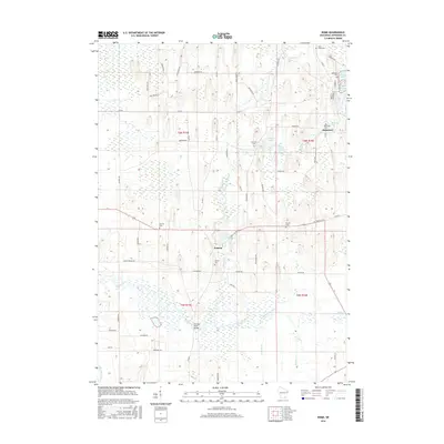
2016 Map of Rome
USGS Topo · Published 2016About this map
The Bark River and the Scuppernong River converge in this corner of Jefferson County, defining a landscape shaped by glacial waters and early Wisconsin settlement. The village of Hebron serves as a central point, surrounded by family-named landmarks and historical burial grounds such as Hebron Cem, Munroe Cem, and McLery Cem. These features, along with Princess Point Bridge over the Bark River, highlight the long-standing transport and community networks of the area.
Find a feature on this map
63 named features on this map. Tap any name to fly to it.
Don’t see what you’re looking for? This feature index may not catch every label — zoom into the map to look around manually.
Map Details
Editions of this 2016 Rome Map
This is the sole edition of this map. No revisions or reprints were ever made.
Other maps of this area

1891 · Waterloo
USGS Topo · 1:62,500

1891 · Koshkonong
USGS Topo · 1:62,500

1892 · Watertown
USGS Topo · 1:62,500

1892 · Whitewater
USGS Topo · 1:62,500

1893 · Whitewater
USGS Topo · 1:62,500

1894 · Waterloo
USGS Topo · 1:62,500

1894 · Watertown
USGS Topo · 1:62,500

1894 · Koshkonong
USGS Topo · 1:62,500

1903 · Whitewater
USGS Topo · 1:62,500

1906 · Koshkonong
USGS Topo · 1:62,500