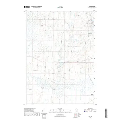
2018 Map of Rome
USGS Topo · Published 2018About this map
Hebron and Rome center this agricultural landscape in Jefferson County, where the winding Bark River and Scuppernong River dictate the local geography. The area is characterized by a high density of rural burial grounds, including Hebron Cem, Cushman Cem, and Saint Luke's Cem, which offer significant data for genealogists tracing local families. The settlement pattern remains largely tied to the river systems, with Slabtown situated near Slabtown Pond and the larger village of Palmyra visible at the southeastern edge.
Find a feature on this map
70 named features on this map. Tap any name to fly to it.
Don’t see what you’re looking for? This feature index may not catch every label — zoom into the map to look around manually.
Map Details
Editions of this 2018 Rome Map
This is the sole edition of this map. No revisions or reprints were ever made.
Other maps of this area

1891 · Waterloo
USGS Topo · 1:62,500

1891 · Koshkonong
USGS Topo · 1:62,500

1892 · Watertown
USGS Topo · 1:62,500

1892 · Whitewater
USGS Topo · 1:62,500

1893 · Whitewater
USGS Topo · 1:62,500

1894 · Waterloo
USGS Topo · 1:62,500

1894 · Watertown
USGS Topo · 1:62,500

1894 · Koshkonong
USGS Topo · 1:62,500

1903 · Whitewater
USGS Topo · 1:62,500

1906 · Koshkonong
USGS Topo · 1:62,500