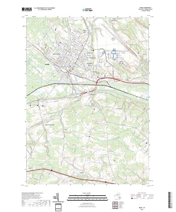
2023 Map of Rome
USGS Topo · Published 2023About this map
The Mohawk River and the Erie Canal converge at this historic transportation hub, defining the industrial and civic heart of central New York. As the seat of local government, the city is anchored by the Oneida County Courthouse and a dense network of neighborhoods including Liberty Gardens, Bloomfield Park, and Lynch Tract. The landscape reflects a transition from high-tech military and research facilities like the Rome Research Laboratory and Griffiss International Airport to the surrounding rural hamlets. To the south and east, smaller communities such as Stanwix Heights, Dix, and Bartlett are interspersed with numerous family and parish burial grounds, including Saint Marys Cem and the Oneida County Cem. Traces of earlier infrastructure remain visible in the path of the Black River Canal as it meets the river near Ridge Mills.
Find a feature on this map
195 named features on this map. Tap any name to fly to it.
Don’t see what you’re looking for? This feature index may not catch every label — zoom into the map to look around manually.
Map Details
Editions of this 2023 Rome Map
This is the sole edition of this map. No revisions or reprints were ever made.
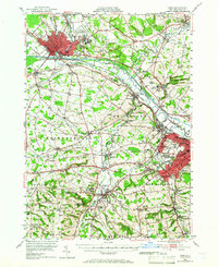
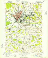
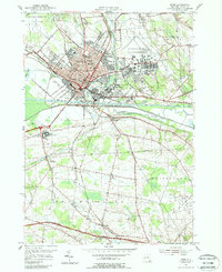
Historical Maps of Air City Through Time
4 maps found