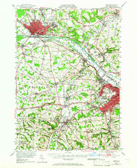
1947 Map of Rome
USGS Topo · Published 1966About this map
Rome and the industrial corridor of the upper Mohawk Valley are captured here just after the war, showing a landscape defined by significant institutional and military growth. The massive footprint of Griffiss Air Force Base dominates the area northeast of the city, while the historic Erie Canal and Old Erie Canal parallel the New York Central rail lines, tracing the region's long-standing transportation backbone. The map reflects the social and educational fabric of Oneida County, featuring both Hamilton College in Clinton and the post-war arrival of Mohawk College.
Find a feature on this map
112 named features on this map. Tap any name to fly to it.
Don’t see what you’re looking for? This feature index may not catch every label — zoom into the map to look around manually.
Map Details
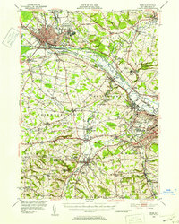
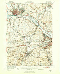
Editions of this 1947 Rome Map
3 editions found
Other maps of this area

1895 · Oriskany
USGS Topo · 1:62,500

1895 · Oneida
USGS Topo · 1:62,500

1897 · Remsen
USGS Topo · 1:62,500

1898 · Oneida
USGS Topo · 1:62,500

1898 · Utica
USGS Topo · 1:62,500

1898 · Oriskany
USGS Topo · 1:62,500

1900 · Utica
USGS Topo · 1:62,500

1900 · Remsen
USGS Topo · 1:62,500

1902 · Morrisville
USGS Topo · 1:62,500

1902 · Oneida
USGS Topo · 1:62,500