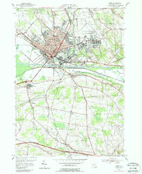
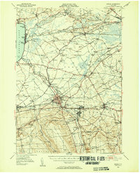
1955 Map of Rome
USGS Topo · Published 1988About this map
Griffiss Air Force Base dominates the northeastern landscape of this mid-century survey, illustrating the significant military and aviation presence in Rome during the post-war years. The city core is a dense hub of industrial and civic activity, flanked by the Mohawk River and the historical path of the Old Erie Canal. The map reveals a community structured by transport, where the New York Central railroad and the New York State Thruway intersect near established neighborhoods like Liberty Gardens and Mohawk Gardens. Further south, the transition to rural terrain is marked by institutional landmarks such as the Rome State School and regional infrastructure like the Oneida County Airport in Whitestown. This record captures a pivotal era when the city’s colonial roots and canal-era legacy met the rapid expansion of Cold War-era defense and modern highway networks.
Find a feature on this map
53 named features on this map. Tap any name to fly to it.
Don’t see what you’re looking for? This feature index may not catch every label — zoom into the map to look around manually.
Map Details
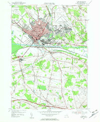
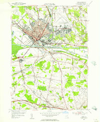
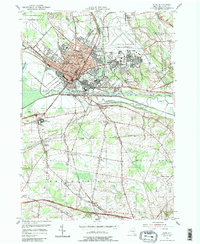
Editions of this 1955 Rome Map
4 editions found
Other maps of this area

1895 · Oriskany
USGS Topo · 1:62,500

1895 · Oneida
USGS Topo · 1:62,500

1898 · Oneida
USGS Topo · 1:62,500

1898 · Oriskany
USGS Topo · 1:62,500

1902 · Oneida
USGS Topo · 1:62,500

1904 · Boonville
USGS Topo · 1:62,500

1905 · Taberg
USGS Topo · 1:62,500

1939 · Oneida
USGS Topo · 1:62,500

1943 · Lee Center
USGS Topo · 1:31,680
1946 · Oneida
USGS Topo · 1:62,500