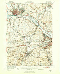
1947 Map of Rome
USGS Topo · Published 1952About this map
Rome serves as the industrial and transportation anchor of this post-war survey, where the Mohawk River and the Erie Canal converge alongside an extensive network of the New York Central and Ontario and Western railroads. The landscape is a mix of military development, notably the expansive Griffiss Air Force Base, and long-standing educational institutions like Hamilton College and Mohawk College.
Find a feature on this map
115 named features on this map. Tap any name to fly to it.
Don’t see what you’re looking for? This feature index may not catch every label — zoom into the map to look around manually.
Map Details
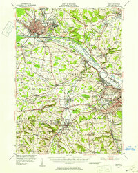
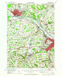
Editions of this 1947 Rome Map
3 editions found
Other maps of this area

1895 · Oriskany
USGS Topo · 1:62,500

1895 · Oneida
USGS Topo · 1:62,500

1897 · Remsen
USGS Topo · 1:62,500

1898 · Oneida
USGS Topo · 1:62,500

1898 · Utica
USGS Topo · 1:62,500

1898 · Oriskany
USGS Topo · 1:62,500

1900 · Utica
USGS Topo · 1:62,500

1900 · Remsen
USGS Topo · 1:62,500

1902 · Morrisville
USGS Topo · 1:62,500

1902 · Oneida
USGS Topo · 1:62,500