
1971 Map of Romero SE
USGS Topo · Published 1973About this map
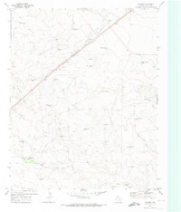
Canadian River bluffs and deeply incised draws dominate this portion of the Texas Panhandle, where the landscape is defined by the critical search for water. In the early 1970s, this area on the border of Hartley and Oldham Counties shows a terrain utilized for cattle ranching, marked by an extensive network of named windmills and water tanks. The complex topography of Minneosa Creek and Spring Creek creates a rugged environment where Jeep Trails provide the primary access through the breaks.
Find a feature on this map
24 named features on this map. Tap any name to fly to it.
Don’t see what you’re looking for? This feature index may not catch every label — zoom into the map to look around manually.
Map Details
Editions of this 1971 Romero SE Map
This is the sole edition of this map. No revisions or reprints were ever made.
Other maps of this area

1954 · Tucumcari
USGS Topo · 1:250,000

1958 · Tucumcari
USGS Topo · 1:250,000

1966 · Big George Tank
USGS Topo · 1:24,000

1966 · Vat Camp
USGS Topo · 1:24,000

1966 · Trujillo Camp
USGS Topo · 1:24,000

1971 · Knoblaw
USGS Topo · 1:24,000

1971 · Spring Creek Ranch
USGS Topo · 1:24,000
1971 · Romero
USGS Topo · 1:24,000
1971 · Humdinger Spring
USGS Topo · 1:24,000

1971 · Pedarosa Camp
USGS Topo · 1:24,000