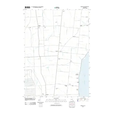
2010 Map of Romulus
USGS Topo · Published 2010About this map
Seneca Army Depot dominates the western edge of this Finger Lakes landscape, providing a sharp contrast to the agricultural and viticultural character of the surrounding terrain. To the east, the shoreline of Cayuga Lake is dotted with several notable operations including Swedish Hill Vineyard, Lakeshore Winery, and Goose Watch Winery, reflecting the region's established wine industry. The interior is defined by small crossroads like Fayette and Kuneytown, where local history is preserved in sites like the Fayette Church Cemetery and Rural Cemetery. Natural drainage is guided by numerous waterways such as Sucker Brook and Kendig Creek, while the Cranberry Marsh represents a significant wetland feature between the larger settlements of Romulus and the lakefront community of East Varick.
Find a feature on this map
81 named features on this map. Tap any name to fly to it.
Don’t see what you’re looking for? This feature index may not catch every label — zoom into the map to look around manually.
Map Details
Editions of this 2010 Romulus Map
This is the sole edition of this map. No revisions or reprints were ever made.
Other maps of this area

1899 · Auburn
USGS Topo · 1:62,500

1902 · Geneva
USGS Topo · 1:62,500

1902 · Genoa
USGS Topo · 1:62,500

1902 · Ovid
USGS Topo · 1:62,500

1902 · Auburn
USGS Topo · 1:62,500

1942 · Ovid
USGS Topo · 1:31,680

1942 · Sheldrake
USGS Topo · 1:24,000

1943 · Dresden
USGS Topo · 1:31,680

1943 · Geneva North
USGS Topo · 1:31,680

1943 · Geneva South
USGS Topo · 1:31,680