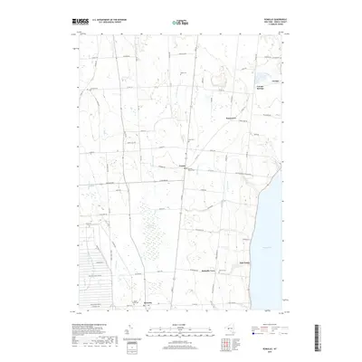
2019 Map of Romulus
USGS Topo · Published 2019About this map
Cayuga Lake defines the eastern edge of this landscape, its shoreline dotted with residential clusters such as East Varick and Canoga. To the west, the massive footprint of the Seneca Army Depot dominates the territory between the lake and the western boundary, reflecting the region's 20th-century military history. Central to the map is the hamlet of Fayette, a junction point marked by the Fayette Church and its accompanying Fayette Church Cem.
Find a feature on this map
78 named features on this map. Tap any name to fly to it.
Don’t see what you’re looking for? This feature index may not catch every label — zoom into the map to look around manually.
Map Details
Editions of this 2019 Romulus Map
This is the sole edition of this map. No revisions or reprints were ever made.
Other maps of this area

1899 · Auburn
USGS Topo · 1:62,500

1902 · Geneva
USGS Topo · 1:62,500

1902 · Genoa
USGS Topo · 1:62,500

1902 · Ovid
USGS Topo · 1:62,500

1902 · Auburn
USGS Topo · 1:62,500

1942 · Ovid
USGS Topo · 1:31,680

1942 · Sheldrake
USGS Topo · 1:24,000

1943 · Dresden
USGS Topo · 1:31,680

1943 · Geneva North
USGS Topo · 1:31,680

1943 · Geneva South
USGS Topo · 1:31,680