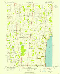
1953 Map of Romulus
USGS Topo · Published 1955About this map
Cayuga Lake forms the eastern boundary of this mid-century landscape, where the agricultural traditions of Fayette and Varick townships meet the federal footprint of the U S Military Reservation Seneca Ordnance Depot. The area is characterized by a series of small, established hamlets such as Kuneytown, East Varick, and Fayette, connected by a grid of rural roads like Yellow Tavern Road and Five Points Road. The presence of the Lehigh Valley Road indicates the rail infrastructure serving this portion of the Finger Lakes region during the early 1950s.
Find a feature on this map
50 named features on this map. Tap any name to fly to it.
Don’t see what you’re looking for? This feature index may not catch every label — zoom into the map to look around manually.
Map Details
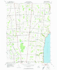
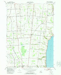
Editions of this 1953 Romulus Map
3 editions found
Other maps of this area

1899 · Auburn
USGS Topo · 1:62,500

1902 · Geneva
USGS Topo · 1:62,500

1902 · Genoa
USGS Topo · 1:62,500

1902 · Ovid
USGS Topo · 1:62,500

1902 · Auburn
USGS Topo · 1:62,500

1942 · Ovid
USGS Topo · 1:31,680

1942 · Sheldrake
USGS Topo · 1:24,000

1943 · Dresden
USGS Topo · 1:31,680

1943 · Geneva North
USGS Topo · 1:31,680

1943 · Geneva South
USGS Topo · 1:31,680